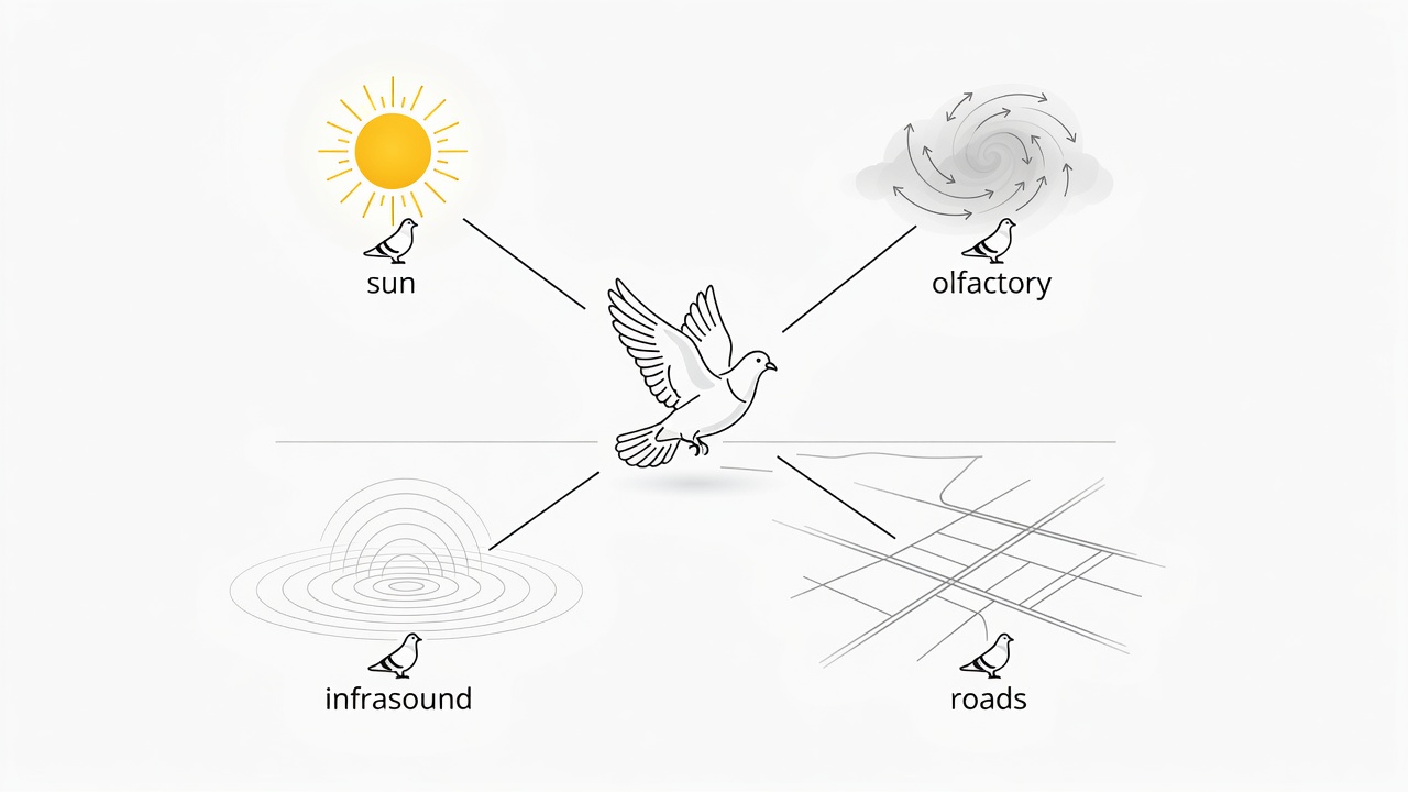
The Dual Mechanism: Map and Compass
Navigation scientists divide homing into two distinct phases: determining location relative to home (the "map" step) and maintaining the correct course back (the "compass" step). Pigeons use different physical senses for each phase depending on geographic distance and weather conditions.
The Time-Compensated Sun Compass
On clear days, pigeons calculate direction using the sun's position. Because the sun moves 15 degrees per hour across the sky, the bird's internal circadian clock continuously recalculates the azimuth angle to maintain a true cardinal bearing throughout the morning and afternoon.
Astronomical Navigation • Circadian Clock
Olfactory Landscape Mapping
Pioneering experiments by Floriano Papi and Hans Wallraff revealed that young pigeons learn the prevailing wind directions and associated aerosol odors while resting in the loft. When transported to unfamiliar territories, regional olfactory gradients help establish their geographic coordinates.
Atmospheric Chemistry • Gradient Detection
Geomagnetic Sensing & Cryptochromes
When heavy cloud cover obscures the sun, pigeons fall back on the Earth's magnetic field. Light-sensitive cryptochrome 4 molecules in their retinal cells undergo quantum spin changes that may allow the bird to literally see geomagnetic field lines superimposed on their visual field.
Quantum Biology • Retinal Cryptochrome
Following Civil Infrastructure
University of Oxford researchers fitted homing pigeons with miniature high-precision GPS logging backpacks. Over repeated flights, birds abandoned pure mathematically direct vectors to follow motorways, exit slip roads, and railway tracks, actively turning at interchanges.
Oxford GPS Tracking • Linear Feature Piloting
Atmospheric Infrasound Channels
Geophysicist Jon Hagstrum demonstrated that low-frequency acoustic waves (under 20 Hz)—generated by deep ocean waves, microseisms, and mountain winds—travel thousands of kilometers through the lower atmosphere. Pigeons hear these deep frequencies, possibly constructing sonic contour maps of large continental landforms that remain intact even during overcast or stormy conditions.